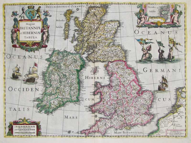

| Henricus Hondius Magnae Britanniae et Hiberniae Tabula 20 x 15 inches This is one of the earliest and most comprehensive maps of the British Isles to have been printed in the early seventeenth century. It shows the kingdoms of England, Scotland and Ireland with the counties clearly defined. It emanates from the golden age of Dutch map making when cartographers like Hondius took great pride in producing atlases based upon Mercator's projections. Galleons, mermaids and mermen fill the sea brandishing flags and two cherubs frame an inset map of the Orkney Islands top right. Henricus Hondius (1573-1650) was an immensely successful and prolific cartographer, engraver and map publisher who flourished in the first half of the seventeenth century in Holland. He purchased his first printing press in 1620 and never looked back. Although Flemish born he spent most of his working life in Amsterdam and The Hague where he established a very profitable and influential map making and publishing business that would eventually be taken on by his two sons, Willem and Hendrik. SOLD |

